Our

Team

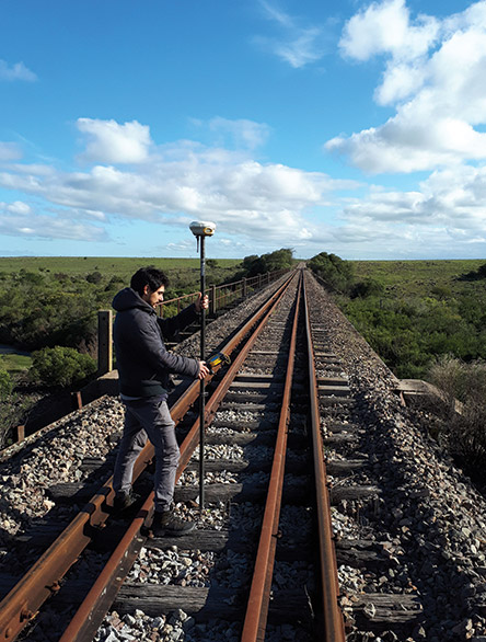
UAV surveying has been created on two fundamental pillars: Human capital and experience of its engineers, offering our clients a personalized solution according to their needs. In charge of university professionals specialized in different areas, UAV Surveying offers optimal and reliable solutions for each need of our clients.

TECNOLOGÍA

+ Four pairs of GPS of high precision and last generation.
+ Three total stations equipped with the latest laser technology.


+ A laser level, a digital one and other optical ones.
+ Five controllers with specific software.

UAV Agrimensura

The highest technology aimed at topography

UAV Agrimensura arises from the merger of COMECOR Topografía (link) and Birriel & Asociados (link), two leading companies in the area of surveying and topography.

two leading companies in the field of surveying and topography. UAV Surveying is made up of Surveying Engineers who work with the support of technical collaborators to achieve a final result according to the client's needs. Our professionals and collaborators are in constant training, both from a legal and technical point of view, as well as in the use of new technologies. This leads to forming multidisciplinary teams, translated into optimal results.