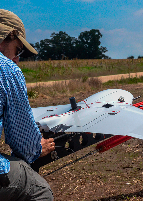
UAV Agrimensura
World-class technology in drones
Aerial imaging is not an unknown concept to practically anyone today. We have all seen aerial images of different objects, at different heights and angles, and for different purposes.
We are aware of the high cost of scheduling a traditional flight to carry out these aerial surveys, for this reason, UAV Surveying puts the highest technology in drones at the service of engineering, minimizing the costs of aerial surveys.
Monumental register and heritage
Maintenance of structures of difficult access

Environmental Surveillance (control of fires, discharges, crops, etc.).
Registration and control of sporting events, natural phenomena, etc.